Project Portfolio
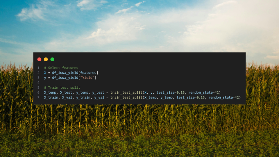
Machine Learning to Predict Corn Yield in Iowa
A comprehensive machine learning pipeline analyzing six regression models to predict corn yield across Iowa using drought indices and environmental variables. This project demonstrates the application of data science techniques to agricultural planning and food security challenges.
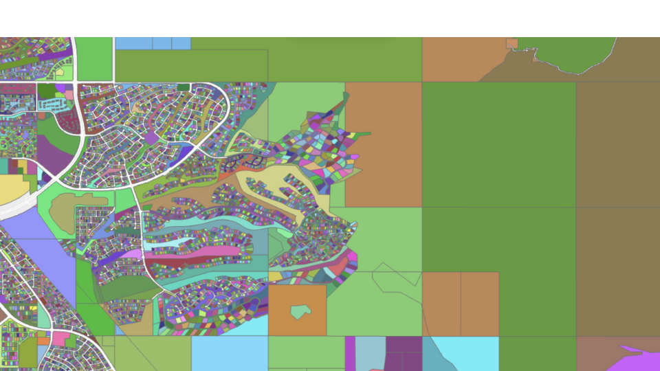
Suburban Sprawl Analysis
Remote sensing analysis of vegetation change in two rapidly developing tech suburbs: Ashburn, VA and Scottsdale, AZ (1990-2025). This project utilizes Google Earth Engine and JavaScript to analyze NDVI time series data and track urban development impacts on vegetation cover.
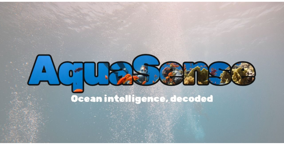
Aquasense
Awarded third place finish at the William & Mary Inaugural AI Case-a-Thon. AquaSense leverages deep learning to automate the identification and detection of benthic marine species from underwater imagery, transforming hours of manual analysis into seconds of automated processing.
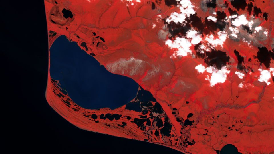
Remote Sensing to Monitor Ecological Changes in the Chuckhi Sea
Working with the Wildlife Conservation Society and Institute for Integrative Conservation to analyze ice coverage and algal bloom dynamics in Chukchi and Beaufort Sea coastal lagoons using the Google Earth Engine API, producing time-series datasets for ecological monitoring.
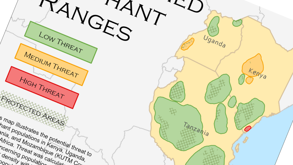
Vector Analysis of Threatened Elephant Ranges
The threats to elephant populations in Kenya, Uganda, Tanzania, and Mozambique (referred to as KUTM Countries) were assessed to determine the legal protections available for these populations and to estimate both the proportion of elephants that are well protected and which specific populations are most threatened.
Learn More
Wyoming: Jackalope Suitability Model (GIS 201 Final Project)
A suitability analysis was conducted for the mythical creature Jackalope in Wyoming, taking into account land cover, distance from roads, alcohol presence, and lightning pulse prevalence to provide data-driven policy decisions.