
Undergraduate Research Analyst, Wildlife Conservation Society
Teaching Assistant, Intro to GIS & Eco-archaeology of Agriculture
About Me
Lego was my favorite toy growing up. Before I learned how to stack spatial data layers or build out a machine learning pipeline, I was building with my lego bricks. The same curiosity, creativity, and determination I had then now fuels my work in Data Science and GIS. Similar to Lego, I focus on combining various pieces (complex data) into something greater: exploring data, analyzing patterns, and producing results that tell a story.
I specialize in building out machine learning pipelines and working with remote sensing data to better inform conservation-related decisions. I am currently working with the Wildlife Conservation Society out of the Arctic Beringia region to monitor coastal lagoon ecology and temporal trends. Starting in January 2026, I will be working with Professor Ye He at William & Mary and the Mote Marine Lab in Florida on AI-Powered Identification of Manatees for Conservation and Health Monitoring.


Project Spotlight
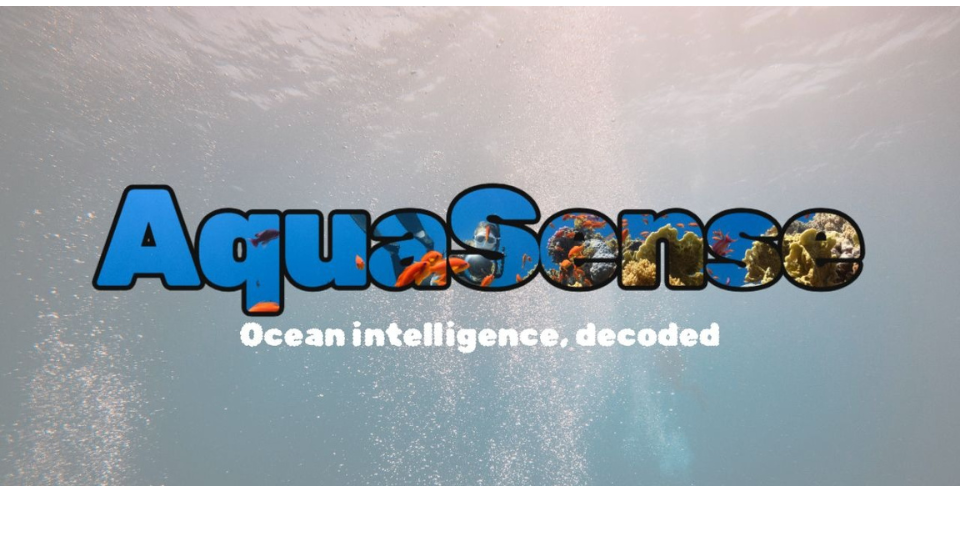
Aquasense
Awarded third place finish at the William & Mary Inaugural AI Case-a-Thon. AquaSense leverages deep learning to automate the identification and detection of benthic marine species from underwater imagery, transforming hours of manual analysis into seconds of automated processing.
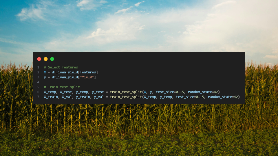
Machine Learning to Predict Corn Yield in Iowa
A comprehensive machine learning pipeline analyzing six regression models to predict corn yield across Iowa using drought indices and environmental variables. This project demonstrates the application of data science techniques to agricultural planning and food security challenges.
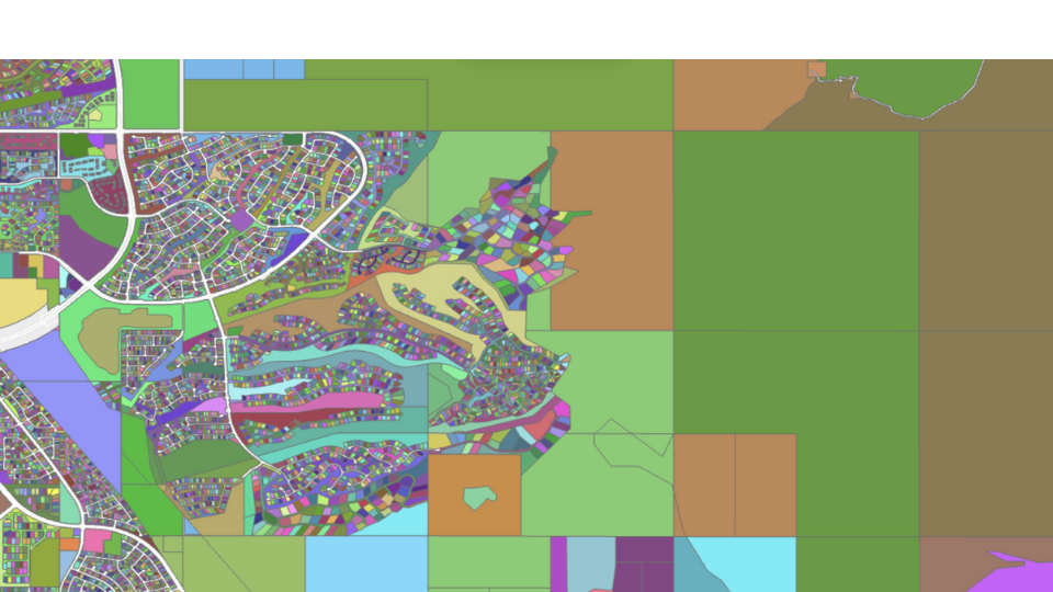
Suburban Sprawl Analysis
Remote sensing analysis of vegetation change in two rapidly developing tech suburbs: Ashburn, VA and Scottsdale, AZ (1990-2025). This project utilizes Google Earth Engine and JavaScript to analyze NDVI time series data and track urban development impacts on vegetation cover.